Colorado State University’s (CSU) hurricane research team, headed by senior research scientist Phil Klotzbach, has raised alarm bells for an “extremely active” Atlantic hurricane season in their initial 2024 forecast unveiled on Thursday. Predictions point to a staggering total of 23 named storms, well above the average of 14 tropical storms and seven hurricanes annually since 1991.
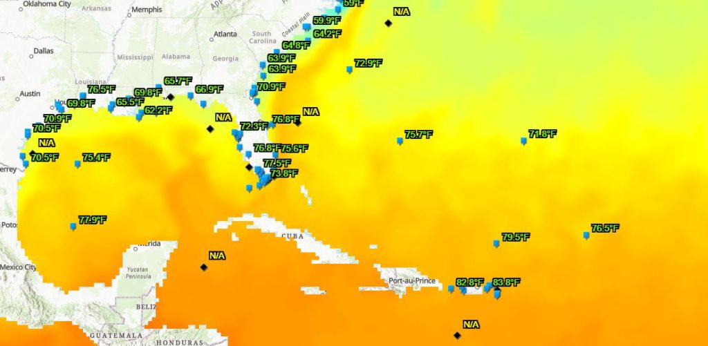
The chief catalyst behind this anticipated surge in hurricane activity is the unprecedented warmth pervading the Atlantic Ocean, acting as a potent “fuel source” for hurricanes. Atmospheric instability and decreased pressure further bolster the conducive conditions for hurricane formation.
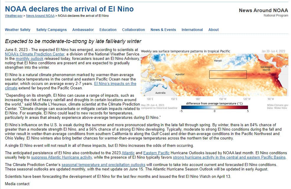
The current El Niño conditions prevailing in the Pacific Ocean are expected to give way to La Niña by the peak of the Atlantic hurricane season, amplifying the likelihood of heightened storm activity. NOAA’s February forecast hinted at this transition, potentially impacting the United States during the winter months.
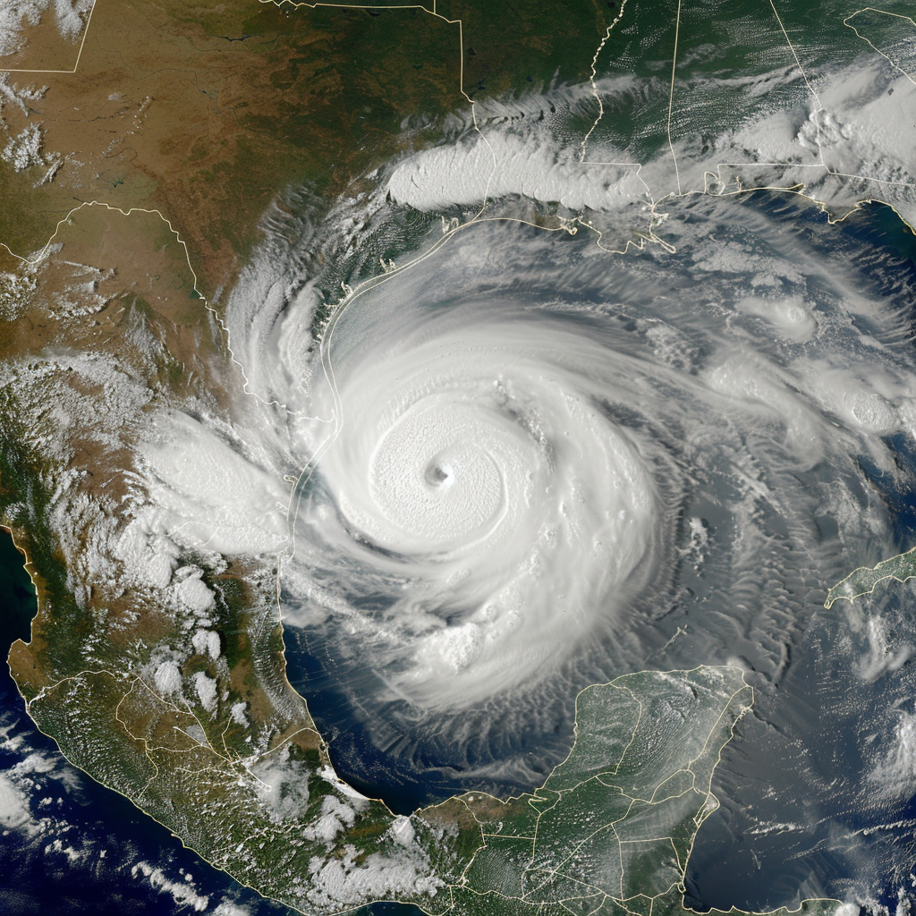
CSU’s Tropical Weather and Climate team forecasts a total of 11 hurricanes, with five potentially escalating to major hurricane status. This surpasses the average of 3.2 major hurricanes observed from 1991 to 2020. Notably, the previous year’s season witnessed 19 named storms, with four directly affecting the United States.
AccuWeather’s prognosis suggests that the 2024 hurricane season could surpass even the most active seasons on record, drawing parallels to the heightened activity witnessed in 1878, 1926, 1998, 2010, and 2020. The forecast also underscores an increased probability of major hurricanes making landfall along the U.S. coastline.
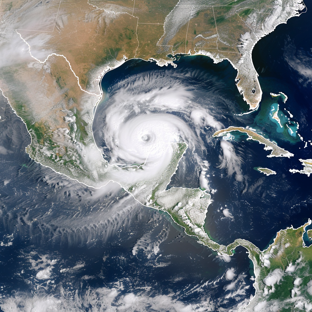
Running from June 1 to November 30, the Atlantic hurricane season typically peaks between mid-August and mid-October. Predominantly, tropical storms and hurricanes originate in the Caribbean Sea and the Gulf of Mexico.
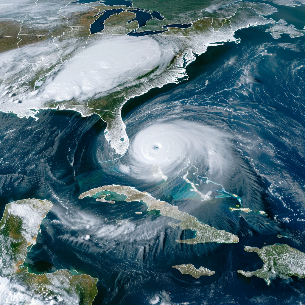
La Niña conditions typically steer more hurricanes westward across the Atlantic, elevating the risk of landfall along the East Coast from Florida to Maine compared to Texas and Alabama. The trajectory of hurricane activity is influenced by high-pressure ridges guiding storms across the ocean.
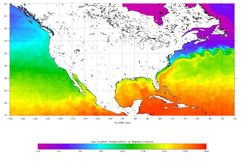
The formation and intensity of hurricanes hinge upon warm ocean temperatures, which have been registering record highs for over a year. Despite lacking a comprehensive explanation, this persistent warmth impedes significant cooling of the Atlantic, barring extraordinary events like tropical volcano eruptions.

Despite the anticipation of a high number of storms, the precise trajectories and impacts on land remain uncertain, underscoring the imperative of preparedness for hurricane season regardless of the projected activity levels. CSU intends to release forecast updates on June 11, July 9, and August 6, offering further insights into the evolving developments of the Atlantic hurricane season.


