
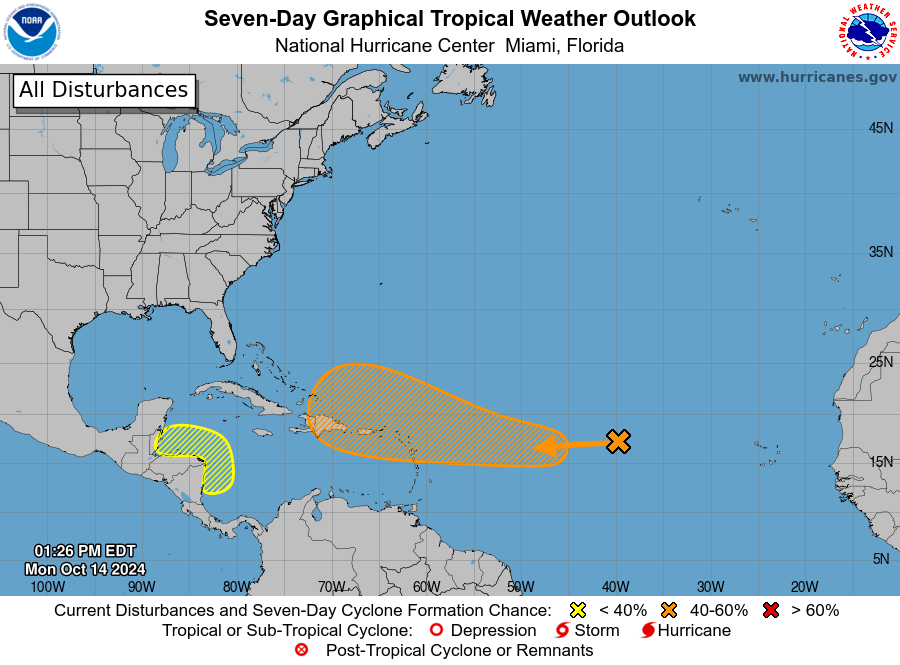
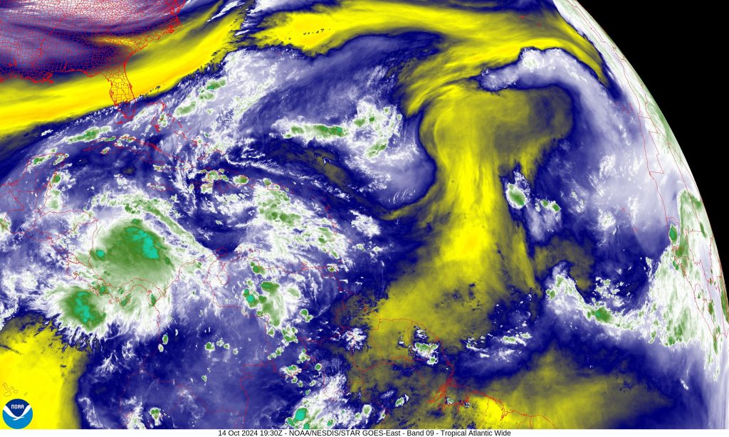
The National Hurricane Center (NHC) has increased its alert level for a tropical disturbance in the Central Tropical Atlantic, upgrading its development chances from yellow to orange on the NOAA system, indicating a medium risk of formation. Initially marked with a low chance of development just days ago, the system, designated AL94, now has a 60% likelihood of developing into a tropical cyclone within the next seven days as it moves westward into more favorable conditions.
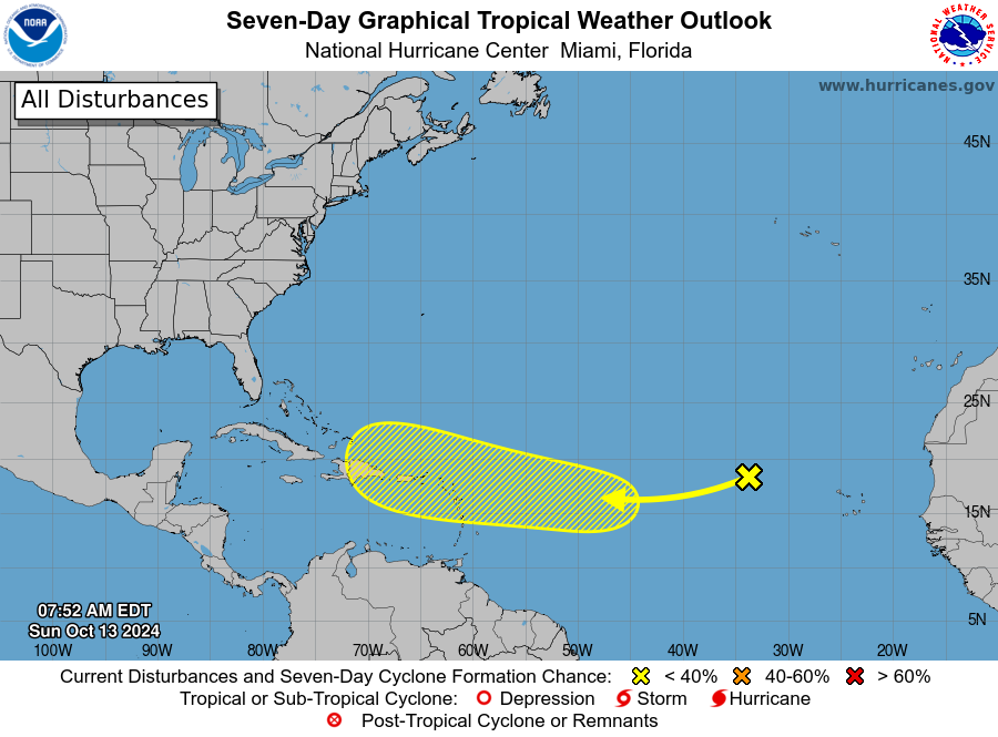
The shift from yellow to orange in NOAA’s tropical outlook system reflects growing concern among forecasters. A yellow designation indicates a low chance of development, while an orange color signals a medium chance, reflecting that conditions are becoming more conducive for storm formation. AL94’s upgrade to orange comes as it moves away from dry air and into warmer waters, which are more favorable for the system to organize and potentially intensify.
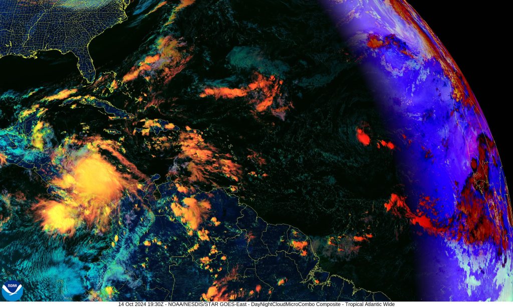
Currently located about halfway between the Cabo Verde Islands and the Lesser Antilles, the disturbance is producing disorganized showers and thunderstorms. However, forecasters believe the system will have better chances for development in the coming days, especially as it moves further west into a more moisture-rich and warm environment.
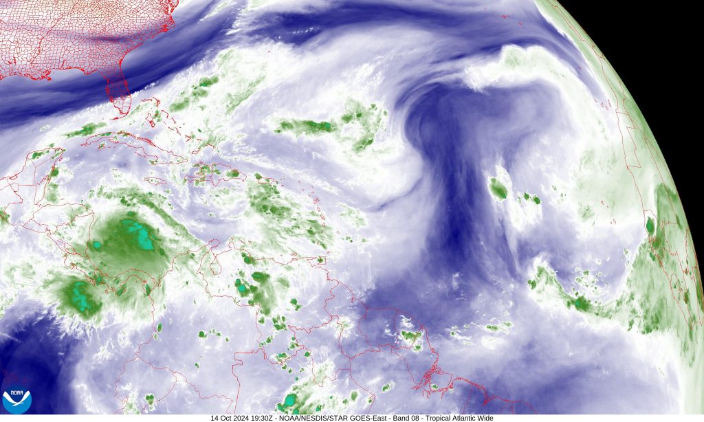
While the system still faces challenges such as dry air and moderate wind shear, these factors are expected to lessen over the next few days. The NHC has increased the 7-day development forecast to a 60% chance, as AL94 moves into warmer sea surface temperatures, which could fuel its growth. This system is currently tracking west-northwestward at 15-20 mph and could approach the Leeward Islands by the end of the week. The NHC also increased the 48-hour forecast to a 10% chance of development, signaling that, while rapid organization isn’t expected in the immediate term, the window for intensification is opening as the week progresses.
If the system continues to develop and reaches tropical storm status, it will be named Nadine, following the NHC’s official naming list for the 2024 Atlantic hurricane season. So far this year, the Atlantic has already seen several named storms, including Alberto, Beryl, Chris, Debby, Ernesto, Francine, Gordon, Helene, Isaac, Joyce, Kirk, Leslie, and most recently Milton, which caused significant damage in its path.
As the planet continues to warm, more intense hurricane seasons are projected to become the norm. It remains uncertain whether AL94 will develop into a named storm or where it might head after moving west, the shift to orange indicates the need for heightened vigilance. Residents in the Caribbean and along the U.S. East Coast should closely monitor updates from the NHC as the system could become a tropical depression or more by the weekend.