

Hurricane Beryl has already made history with its unprecedented rapid intensification and early-season strength. First forming as a tropical depression on June 28, 2024, with winds of 35 mph, Beryl swiftly escalated into a hurricane with winds of 75 mph within 24 hours. This marked the farthest east a hurricane has formed in June. The next 24 hours saw another dramatic increase in strength, with Beryl becoming an extremely dangerous Category 4 hurricane. It was the first Category 4 hurricane ever recorded in June, surpassing the previous record held by Hurricane Dennis, which reached Category 4 status on July 8, 2005.
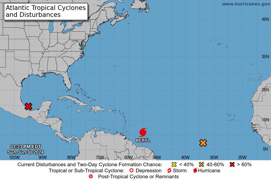
Rapid intensification, a phenomenon where a tropical cyclone’s wind speeds increase by at least 35 mph within 24 hours, has become more common in recent years. This trend is expected to continue as human-caused climate change warms ocean waters, providing more fuel for developing storms. Beryl made landfall on Carriacou Island on July 1, 2024, as a strong Category 4 hurricane with sustained winds of 150 mph. The storm caused catastrophic damage with its powerful winds and life-threatening storm surge, particularly impacting the southern Windward Islands. After landfall, Beryl continued to gain strength in the Caribbean Sea.
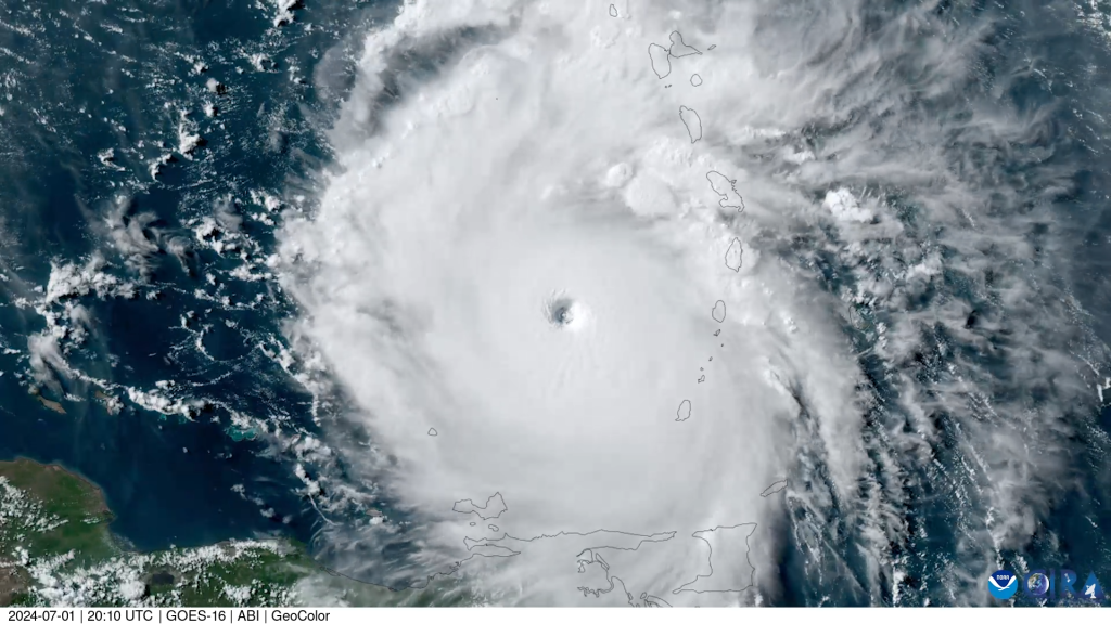
On July 2, 2024, Beryl became the earliest Category 5 hurricane ever recorded in the Atlantic, setting a new benchmark for storm intensity this early in the season. It was only the second Category 5 hurricane to occur in July, following Hurricane Emily in 2005. Beryl surpassed Emily’s record by over two weeks and reached a peak strength with sustained winds of 165 mph, becoming the strongest July Atlantic hurricane on record, outstripping Emily’s maximum sustained winds of 160 mph. As Beryl approaches the Yucatán Peninsula, meteorologists are closely monitoring the storm’s potential to restrengthen into a Category 5 hurricane.
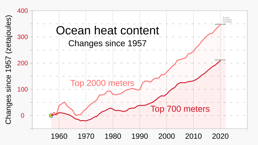
The water temperatures in the Gulf of Mexico are currently similar to or even higher than those in the region where Beryl initially intensified so rapidly. Warm ocean waters are a critical factor in hurricane development, providing the energy needed for storms to strengthen.
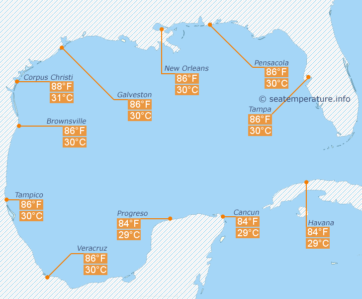
The Gulf of Mexico is known for its warm waters, often exceeding 80°F during the summer months. These temperatures are conducive to the rapid intensification of hurricanes. Wind shear, which can disrupt the organization of a hurricane, is expected to be relatively low in the Gulf, allowing Beryl to maintain or even increase its strength. A moist atmospheric environment supports the development of convection and thunderstorms within a hurricane, aiding in its intensification.
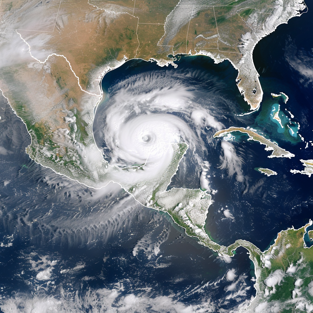
If Beryl does strengthen to a Category 5 hurricane as it passes the Yucatán Peninsula, the implications could be severe for the Gulf Coast and surrounding regions. Residents and authorities in potential impact zones should stay informed and prepare for the possibility of a major hurricane. There is a significant risk that Beryl could make landfall in Texas, bringing with it the potential for devastating winds, storm surge, and heavy rainfall. Emergency plans should be reviewed and evacuation routes should be identified to ensure the safety of those in the storm’s path.
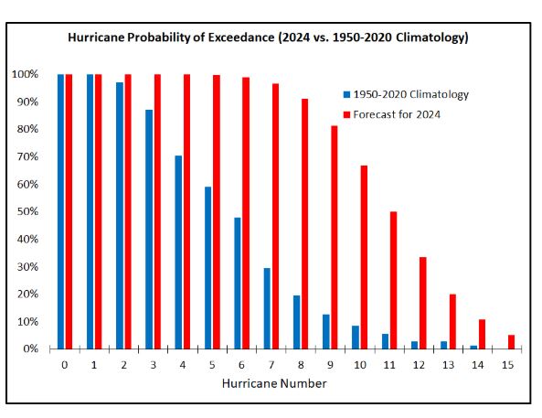
The forecast for the 2024 hurricane season looks more probable than ever. The rapid intensification of hurricanes like Beryl highlights the growing impact of climate change on tropical cyclone behavior. As ocean temperatures continue to rise, the likelihood of such powerful storms forming and intensifying quickly is expected to increase. This underscores the importance of improving forecasting models and enhancing preparedness efforts to mitigate the effects of these potentially devastating natural disasters. In conclusion, while Beryl has already set numerous records, the storm’s journey is far from over. The warm waters of the Gulf of Mexico present a significant risk for further intensification, potentially bringing unprecedented challenges to the regions in its path. As the situation develops, continuous monitoring and proactive measures will be essential in addressing the threats posed by this powerful hurricane.